Landscape
A Walk Around The Park
30/05/22 16:31
I plan to move house in the near future and will be leaving Sutton Coldfield, so before leaving the area I wanted to walk the circumference of our local park.
Sutton Park is a 2,400 acre National Nature Reserve. It’s one of the largest urban parks in Europe and is designated as a Site of Special Scientific Interest.
The park has open heathland, woodlands, seven lakes, wetlands, and marshes - each with its own rich variety of plants and wildlife, some rarely seen in the region. Cattle and wild ponies graze on the land. This thirteen Kilometre walk will take in many of these habitats.
You can follow my progress on a map by clicking here to download.
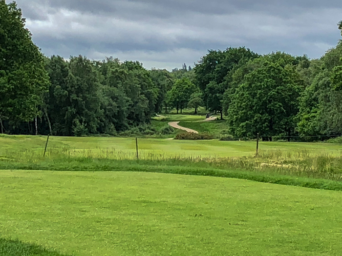
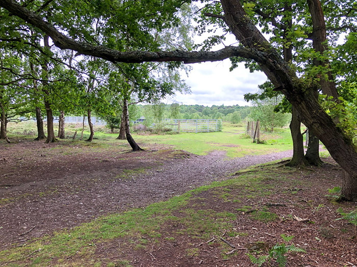
I entered the park at Boldmere gate, turned left past the steakhouse and crossed the field, skirting the back of the municipal golf course and approaching Longmoor Pool.
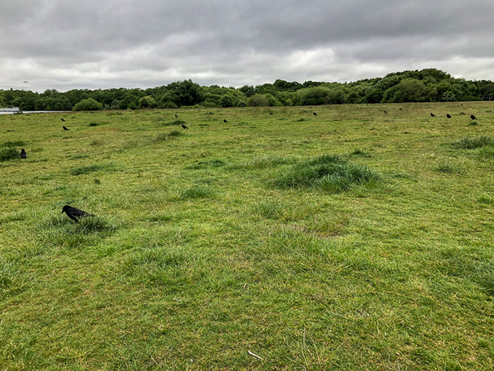
Lazy Crows
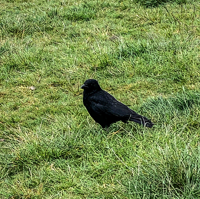
Black as coal!
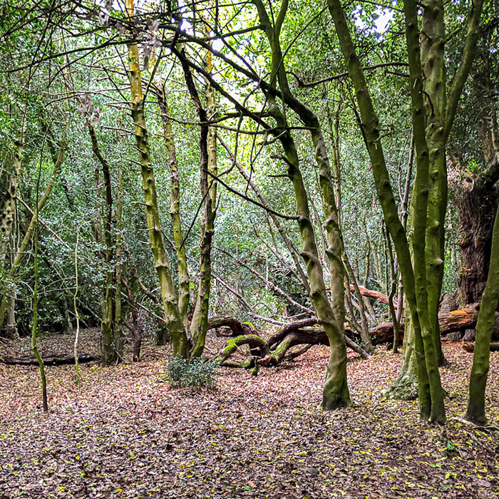
Longmoor Woods
Like six of the seven pools in the park Longmoor pool is man-made. Local streams were dammed to make pools for watermills from as early as the fifteenth century. At Longmoor Pool there was Longmoor Mill which was a Button Mill. Button making was a flourishing trade centuries ago in Sutton. Blackroot Pool was Blackroot Leather Mill making all kinds of leather goods from belts to saddles. The Spade Mill which still existed 100 years ago at Powell’s Pool made spades and later on rolled steel for pen nibs.
Other mills in the Park were:
Blade Mill, Stonehouse Mill which was used for Steel rolling and there is evidence that at least another three were known to exist.
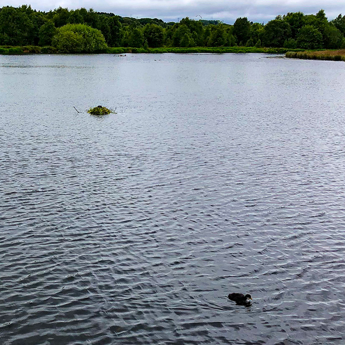
At Longmoor Pool I spotted a moorhen’s nest with a fledgling.
Fledgling
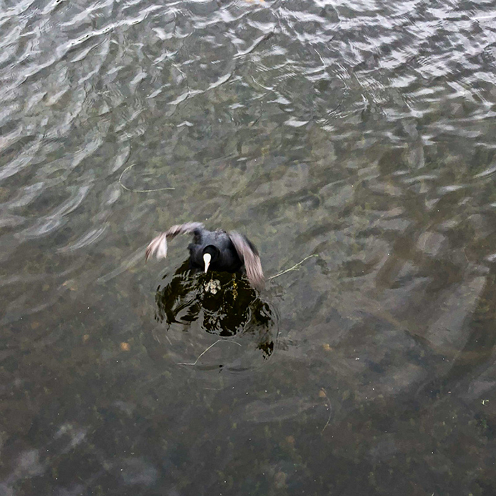
Angry Parent!
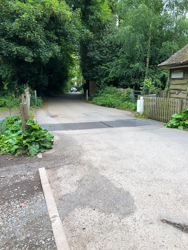
I continued on to Banners gate, then turned left, parallel to the Chester Road, and to near the junction with Thornhill Road.
Banners gate
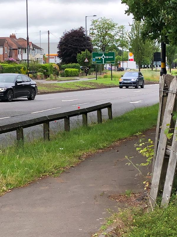
Chester Road
There’s a path from this point which goes all the way past the Jamboree Stone to Blackroot Pool with the curious name of Donegal's Ride.
Donegal’s Ride
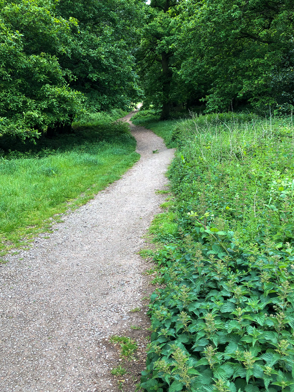
But, this was not for me on this day. I followed the path between the old Roman Road and Streetly Lane, and then past the Sutton Coldfield Golf Club.
Sutton Coldfield Golf Club
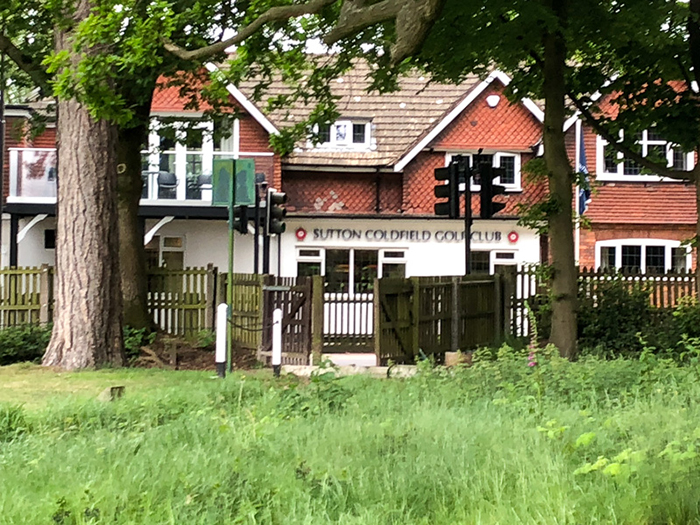
Clubhouse
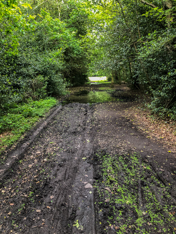
After passing Streetly gate I had to cross the (goods only) railway line that runs between Walsall and Water Orton.
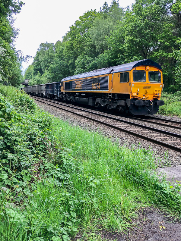
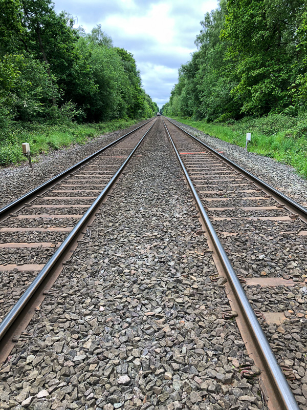
Tracks through the park
Pony Corral
Passing by the pony corral, having not yet seen any ponies, I followed the route of Streetly Lane as it curved to the right and climbed up the hill towards Four Oaks gate.
Four Oaks gate
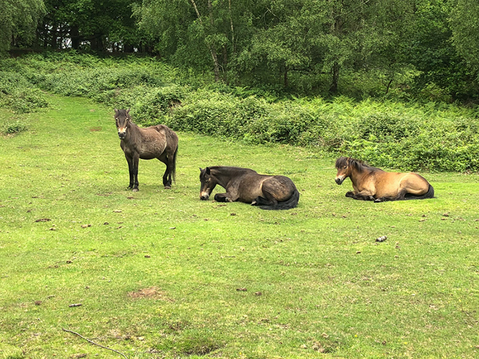
Joining the park road I walked down the hill past Gum Slade woods. It was here, just before leaving the area where the wild ponies are, that I saw a small group of them.
Wild Ponies
Before following the road round to Hartopp gate I stopped off for delicious lunch at The Blackroot Bistro. I then rejoined the road and followed it round to Town gate, past the Visitor Centre to the ford by Wyndley gate, passing some of the park’s cattle.
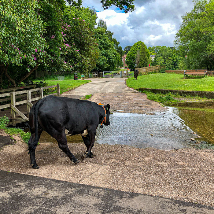
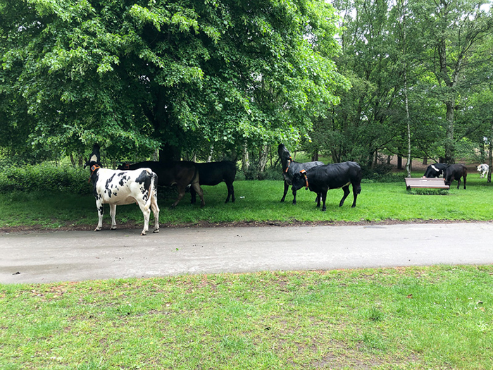
Cattle near Wyndley gate
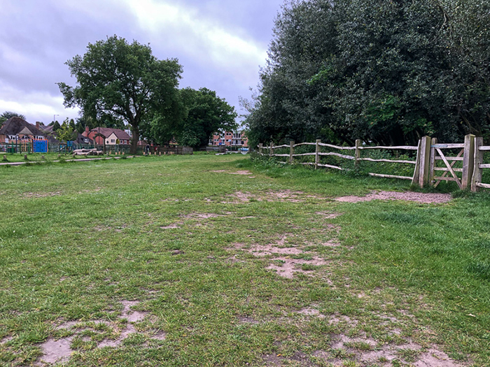
At this point, the area surrounding Wyndley Pool is closed to the public so I cut across the open ground, and through the woods, to the sports field by the Sea Scouts hut and back out through Boldmere gate.
Almost there!
Powell’s Pool, by Boldmere gate
Sutton Park is a 2,400 acre National Nature Reserve. It’s one of the largest urban parks in Europe and is designated as a Site of Special Scientific Interest.
The park has open heathland, woodlands, seven lakes, wetlands, and marshes - each with its own rich variety of plants and wildlife, some rarely seen in the region. Cattle and wild ponies graze on the land. This thirteen Kilometre walk will take in many of these habitats.
You can follow my progress on a map by clicking here to download.
I entered the park at Boldmere gate, turned left past the steakhouse and crossed the field, skirting the back of the municipal golf course and approaching Longmoor Pool.
Lazy Crows
Black as coal!
Longmoor Woods
Like six of the seven pools in the park Longmoor pool is man-made. Local streams were dammed to make pools for watermills from as early as the fifteenth century. At Longmoor Pool there was Longmoor Mill which was a Button Mill. Button making was a flourishing trade centuries ago in Sutton. Blackroot Pool was Blackroot Leather Mill making all kinds of leather goods from belts to saddles. The Spade Mill which still existed 100 years ago at Powell’s Pool made spades and later on rolled steel for pen nibs.
Other mills in the Park were:
Blade Mill, Stonehouse Mill which was used for Steel rolling and there is evidence that at least another three were known to exist.
At Longmoor Pool I spotted a moorhen’s nest with a fledgling.
Fledgling
Angry Parent!
I continued on to Banners gate, then turned left, parallel to the Chester Road, and to near the junction with Thornhill Road.
Banners gate
Chester Road
There’s a path from this point which goes all the way past the Jamboree Stone to Blackroot Pool with the curious name of Donegal's Ride.
Donegal’s Ride
But, this was not for me on this day. I followed the path between the old Roman Road and Streetly Lane, and then past the Sutton Coldfield Golf Club.
Sutton Coldfield Golf Club
Clubhouse
After passing Streetly gate I had to cross the (goods only) railway line that runs between Walsall and Water Orton.
Tracks through the park
Pony Corral
Passing by the pony corral, having not yet seen any ponies, I followed the route of Streetly Lane as it curved to the right and climbed up the hill towards Four Oaks gate.
Four Oaks gate
Joining the park road I walked down the hill past Gum Slade woods. It was here, just before leaving the area where the wild ponies are, that I saw a small group of them.
Wild Ponies
Before following the road round to Hartopp gate I stopped off for delicious lunch at The Blackroot Bistro. I then rejoined the road and followed it round to Town gate, past the Visitor Centre to the ford by Wyndley gate, passing some of the park’s cattle.
Cattle near Wyndley gate
At this point, the area surrounding Wyndley Pool is closed to the public so I cut across the open ground, and through the woods, to the sports field by the Sea Scouts hut and back out through Boldmere gate.
Almost there!
Powell’s Pool, by Boldmere gate
A Cotswold Walk
02/05/22 12:10
Seven miles west of Bourton-on-the-Water lies the village of Salperton. These pictures are from a couple of walks that Mary and I enjoyed in the area.
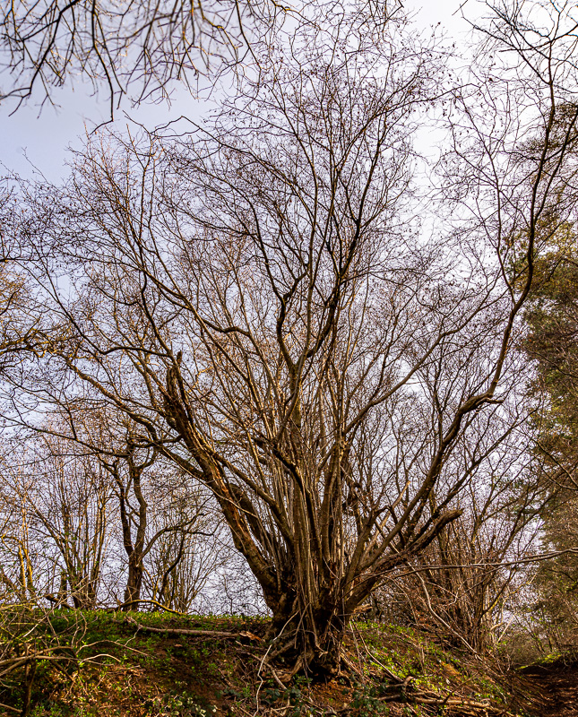
Now wild, these trees had been previously cultivated for pollarding.
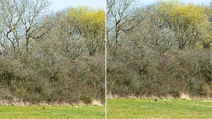
Hares sighted near an abandoned railway cutting.
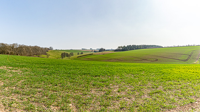
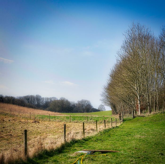
Rolling Cotswold hills.
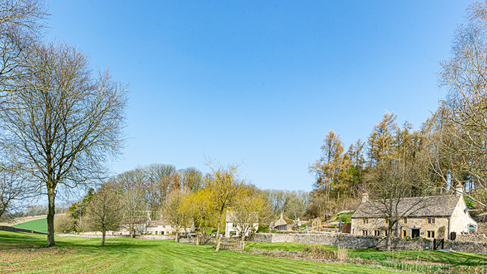
The ancient village of Salperton.
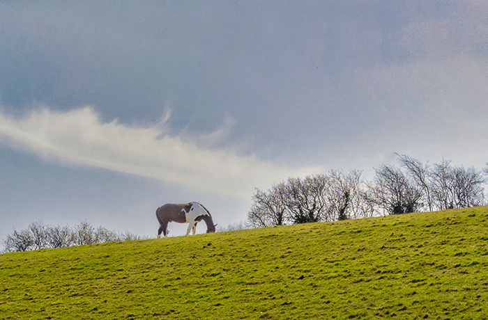
Lone horse on the skyline.
Bucolic pastures.
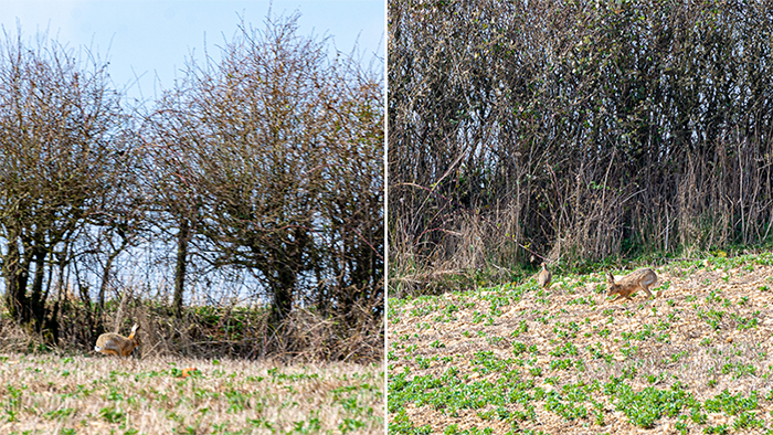
Another hare.
Now wild, these trees had been previously cultivated for pollarding.
Hares sighted near an abandoned railway cutting.
Rolling Cotswold hills.
The ancient village of Salperton.
Lone horse on the skyline.
Bucolic pastures.
Another hare.
Kinver Edge
12/10/21 09:54
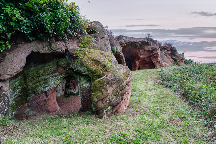
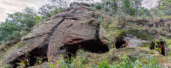
Eleven miles south west of Dudley in the West Midlands is the pretty village of Kinver. Kinver Edge is a National Trust property that lies just outside the village. The property consists of extensive parkland and woods, and includes an iron age hill fort and the Rock Houses.
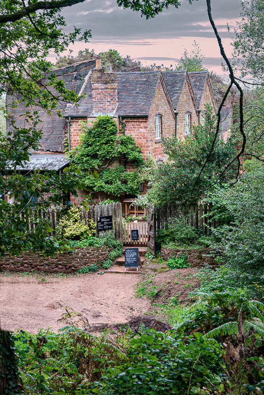
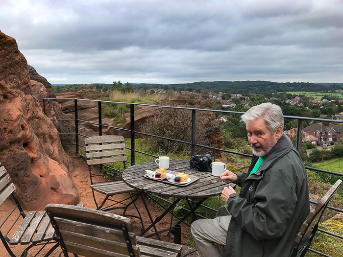
 Having explored the rock houses, Mary and I enjoyed an excellent cream tea with hot scones.
Fortified, we went to explore the woods.
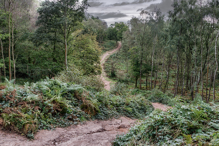
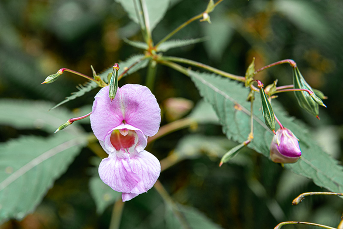
Some of the paths are very steep but the woods are well worth a walk. It was early October and the trees were just beginning to change colour. There were still some wild flowers to see.
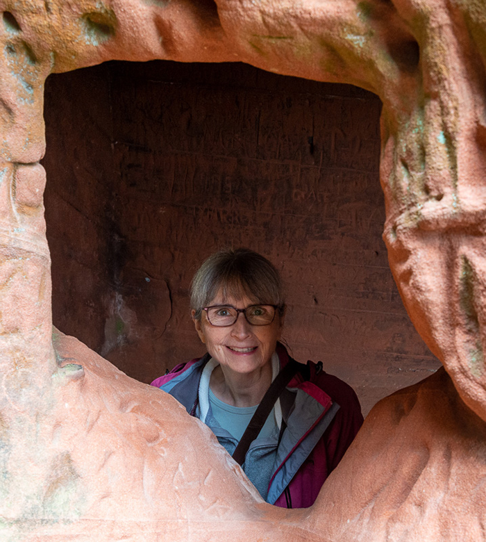
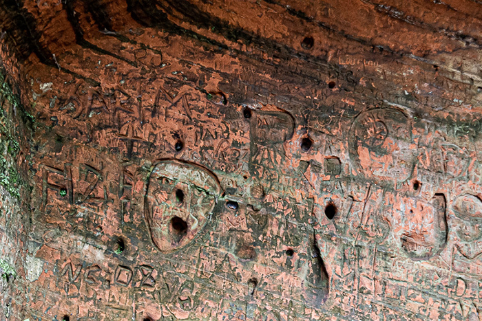
One of the features of Kinver Edge is “Nanny’s Cave” reputed to have once been the home of a hermit.
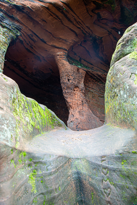
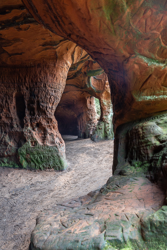
It’s a bit of a climb to get into but is full of interesting shapes.
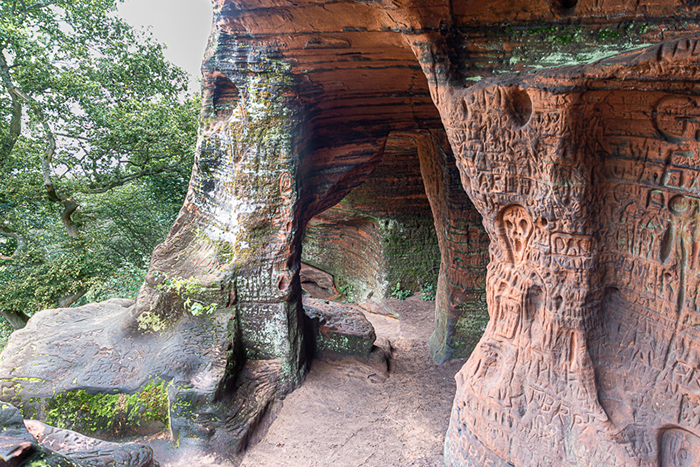
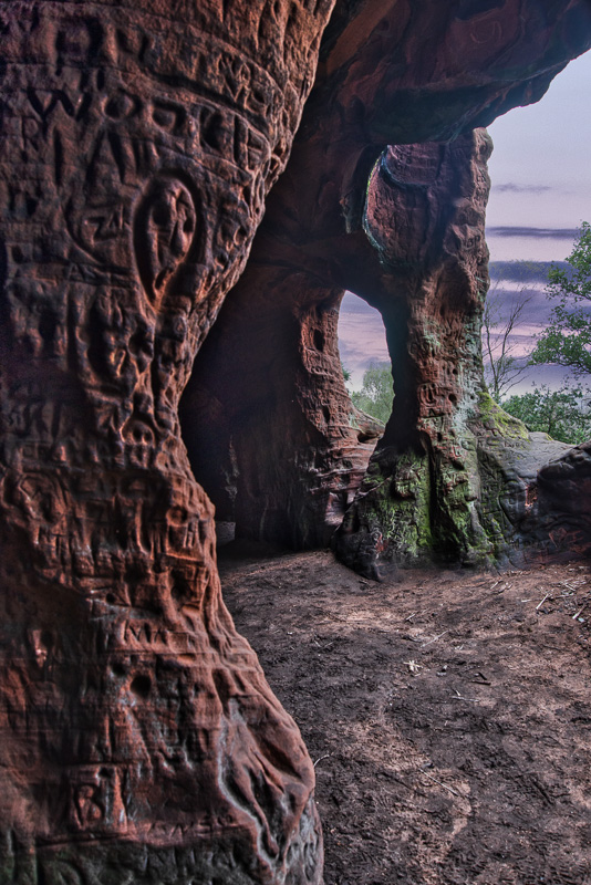
…and grafitti!
Having explored the rock houses, Mary and I enjoyed an excellent cream tea with hot scones. Fortified, we went to explore the woods.
Some of the paths are very steep but the woods are well worth a walk. It was early October and the trees were just beginning to change colour. There were still some wild flowers to see.
One of the features of Kinver Edge is “Nanny’s Cave” reputed to have once been the home of a hermit.
It’s a bit of a climb to get into but is full of interesting shapes.
…and grafitti!
St. Audries Bay
15/07/21 09:40
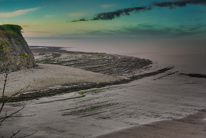
Just three miles west of Watchet in Somerset, is St. Audries Bay waterfall.
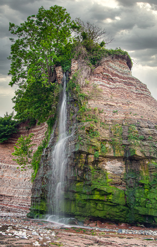
The waterfall flows from a cliff of Triassic Mudstone and the beach consists of curved and shelving Mudstone steps.
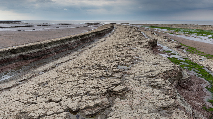
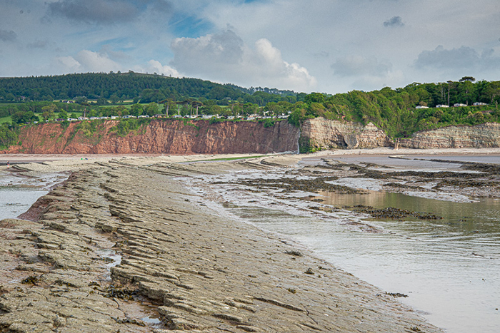
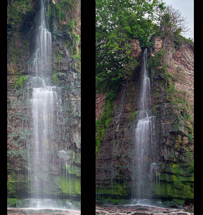
It’s a beautiful area and well worth exploring.
The waterfall flows from a cliff of Triassic Mudstone and the beach consists of curved and shelving Mudstone steps.
It’s a beautiful area and well worth exploring.
Gloucestershire Weekend
14/07/21 09:52
I recently spent a weekend near Harescombe in Gloucestershire.
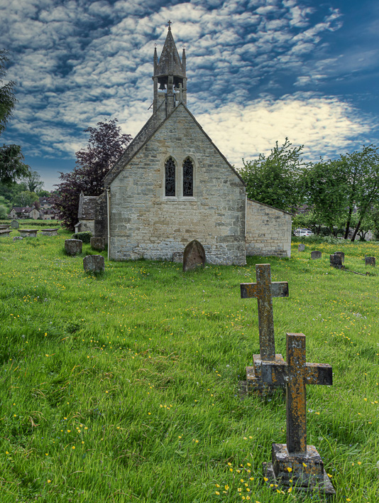
Harescombe has an architecturally quirky village church which…
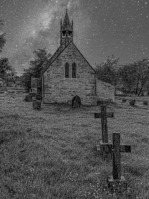
…lends itself to a ‘Day for Night’ treatment.
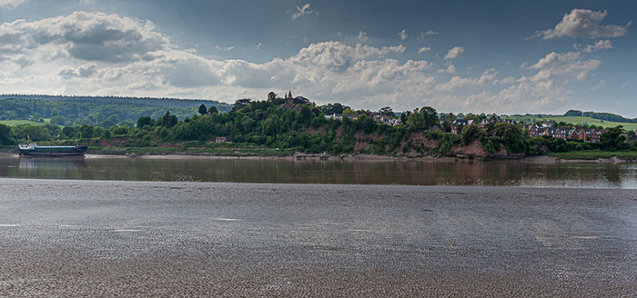
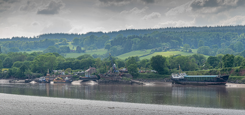
We also walked down to the River Severn at Arlingham.
Harescombe has an architecturally quirky village church which…
…lends itself to a ‘Day for Night’ treatment.
We also walked down to the River Severn at Arlingham.